UTILITY & ENERGY INDUSTRIES
Industrial Aerial mapping , 3D modeling & surveying
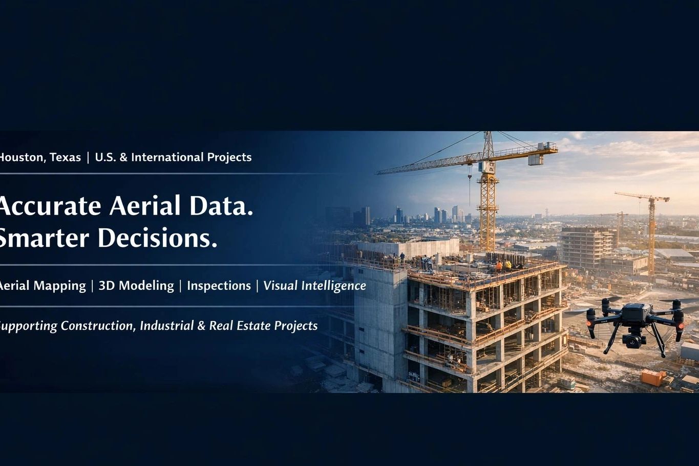
Based in Houston, Texas, we specialize in delivering accurate, data-driven insights through drone mapping, 3D modeling, inspections, and visual intelligence.
Our approach goes beyond capturing images—we focus on precision, consistency, and actionable data that improves how projects are planned, monitored, and executed.
We support construction, real estate, and industrial teams by:
✔ Delivering high-accuracy aerial mapping and modeling
✔ Improving visibility across complex projects
✔ Reducing risk through safer inspection methods
✔ Providing consistent, repeatable data for better tracking
Construction Aerial Data Accusation
Specializing in high-res aerial photography, videography, mapping, and modeling for construction, manufacturing, and corporate sectors.
Industrial Aerial Imaging
Aerial data accusations, Visual intelligence” Photography, Industrial Inspection, Drone Mapping & 3D Modeling | Helping Construction, Real Estate & Industrial projects Save Time & Improve Accuracy”

Our Approach
Eagle Eye Drone Network, we document projects from dirt to completion, and the amount of information captured during each phase can be a game changer for developers, GCs, project managers, investors, and even marketing teams.
✅ Track progress in real time
✅ Catch problems before they become expensive headaches
✅ Keep investors and stakeholders updated remotely
✅ Improve communication between crews and management
✅ Create documentation for disputes or insurance issues
✅ Build a massive library of marketingh content while the project is being built
✅ Showcase craftsmanship and progress to future clients
And let’s be honest… there’s just something awesome about watching an empty lot turn into a finished masterpiece from the air. 👀🔥
With high-resolution aerial imagery, 6K video, and RTK mapping, today’s construction progression isn’t just about taking pictures anymore — it’s about creating actionable data and visual records that help projects run smoother, safer, and more
AT Eagle Eye Drones Network … this is what we do.
Construction & Industry inspection
High-resolution aerial visuals tailored for industry leaders, from site surveys to project documentation And topography.
Infrastructure Audit
Inspect- Assess-Act Effectively
Inspect Roads, Bridges & Highways
Evaluate Buildings & Structures
Audite Utilities & Critical assets
Improve Safety, Reduce Time & Cost
Generate excitement
At Eagle Eye Drone Network, we document projects from dirt to completion, and the amount of information captured during each phase can be a game changer for developers, GCs, project managers, investors, and even marketing teams.
✅ Track progress in real time
✅ Catch problems before they become expensive headaches
✅ Keep investors and stakeholders updated remotely
✅ Improve communication between crews and management
✅ Create documentation for disputes or insurance issues
✅ Build a massive library of marketingh content while the project is being built
✅ Showcase craftsmanship and progress to future clients
And let’s be honest… there’s just something awesome about watching an empty lot turn into a finished masterpiece from the air. 👀🔥
With high-resolution aerial imagery, 6K video, and RTK mapping, today’s construction progression isn’t just about taking pictures anymore — it’s about creating actionable data and visual records that help projects run smoother, safer, and more
AT Eagle Eye Drones Network … this is what we do.

Welcome to Our World
We believe in creating meaningful experiences that inspire and connect. Let us help you bring your vision to life.
Quality First
We deliver exceptional results in everything we do, ensuring your satisfaction at every step.
Expert Care
Our experienced team brings skill and passion to every project, no matter the size.
Real Results
Proven outcomes that speak for themselves and make a meaningful difference for your business.
Contact Us
Connect With Us
Have a question about the services we provide? Send us the details on the type of project you're looking to hire for, and we'll be happy to get back to you with a free quote and information.
Hours
Open today | 09:00 am – 05:00 pm |